Sol 4370-4371: All About the Polygons
Earth planning date: Wednesday, Nov. 20, 2024 We planned two very full sols today! The sol 4369 drive completed successfully, and the rover was in a stable enough position that we could unstow the arm — something we don’t take for granted in the exceedingly rocky terrain of the sulfate unit! Today the team decided […]

2 min read
Sol 4370-4371: All About the Polygons
Earth planning date: Wednesday, Nov. 20, 2024
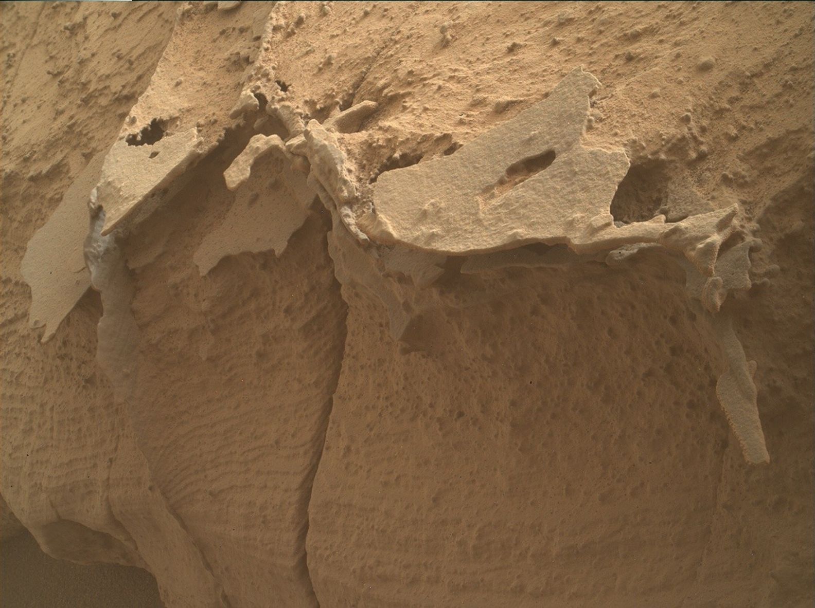
We planned two very full sols today! The sol 4369 drive completed successfully, and the rover was in a stable enough position that we could unstow the arm — something we don’t take for granted in the exceedingly rocky terrain of the sulfate unit! Today the team decided to investigate several rocks in our workspace that are covered in cracks, or fractures, that form polygonal patterns. We are interested to better characterize the geometry of these cracks and to see if they are associated with any compositional differences from the rock. Both pieces of information will give us clues about how they formed. Did they form when stresses pushed on the rock in just the right manner to fracture it into polygonal shapes? Or do the cracks record the rock expanding and contracting, either due to massive changes in temperatures on the Martian surface, or minerals within the rock gaining and losing water? Or perhaps it is something different?
We selected two contact science targets to investigate in our attempt to answer these questions. The target named “Buttermilk” is one of the skinny raised ridges associated with these cracks. We will be placing APXS at three different places over this feature to try to characterize its chemistry. Our second contact science target, “Lee Vining,” gives us a nice 3D view into these cracks. Here, we will collect two MAHLI mosaics, one on each side of the rock that’s close to the rover, to characterize the geometry of the fractures. ChemCam will also get in on the action with a LIBS observation on a fracture fill named “Crater Crest,” as well as an observation on a dark-toned, platy rock called “Lost Arrow.” Mastcam will collect observations of several more polygonally fractured rocks further away from Curiosity in “The Dardanelles” series of mosaics. Some environmental science observations will round out the plan before our drive will take us about 25 meters further (about 82 feet) to the southwest.
Written by Abigail Fraeman, Planetary Geologist at NASA’s Jet Propulsion Laboratory
Share
Details
Related Terms
What's Your Reaction?


